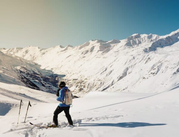
If you’re heading to the Alps on your first ski trip, understanding ski maps is key. Not only will you be able to safely navigate the pistes, but you’ll be able to ensure you get the most out of the mountains. Luckily, getting to grips with reading these maps is fairly straightforward. In this post, we delve into the details, to help you confidently plan your routes and find the best slopes for your ability.
Where can you get a ski map?
There are a number of different ways you can get your hands on a ski map for your chosen resort:
1. The tourist office
Your local Tourist office is the go-to place for all information about the resort, especially when it comes to getting around.
Many of the teams speak multiple languages, including English, so it’s easy to go in and ask for a map. They’ll also be able to guide you when it comes to which pistes suit your ability and how to access neighbouring resorts.
2. Lift pass office
Your second option is the lift pass office. If you opt to buy your lift pass in resort, you’ll need to head down there to collect it. Very often they hand out free maps with your pass, or you can simply ask for one. Again, many of the assistants speak English, so if you’re struggling with directions, don’t be afraid to ask for help.
3. On the pistes
If you lose your ski map or forget to take it out, then don’t worry! Many of the larger lift stations often supply maps and there are plenty of large, interactive boards dotted about to help you plan your route.
Even if you do have your own map on you, it’s worth taking a look at these boards, as they will provide the latest updates on which pistes are open and if there are any warnings.
4. Ski apps
If you prefer to go paperless, nowadays there are a number of different apps which have virtual maps as well as GPS tracking, snow forecasts and terrain tracking. Here are just a few:
- FATMAP – maps, route planning and terrain overlays;
- Slopes – access to maps, route tracking and a find your friends feature;
- Ski Tracks – great for tracking speed and routes;
A lot of the larger ski resorts have also developed their own apps which are free to download. For example, the 3 Vallées app includes:
- Map of the ski runs and lift openings/closures;
- Piste grooming information;
- 3-day weather forecasts;
- Webcams;
- Restaurants;
- Information & security notifications;
- 3 Vallées connections;
- Safety features.
Book your stay in the Alps
Ski map symbols
Although some symbols may vary on a national and regional level, most ski maps in the Alps will use very similar symbols to illustrate certain features.
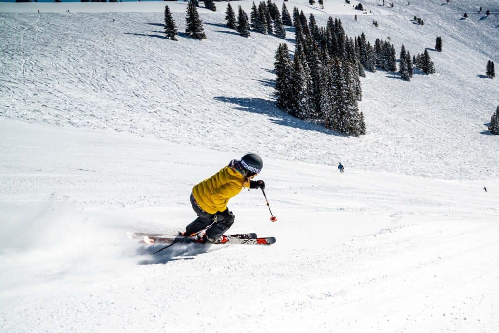
Piste difficulty levels
Before you start, you’ll need to have an understanding of the colour coding system for piste classification.
In Europe it’s pretty straightforward. Pistes are categorised by colours, making them easy to identify. On a map, they’ll be illustrated with lines, whereas on the pistes, you’ll usually find a pole with a circular marker on top which indicates the level.
| Colour | Difficulty |
| 🟢 | Very gentle gradients, well-groomed piste, ideal for beginners and inexperienced kids |
| 🔵 | Well-groomed, slightly steeper pistes for beginners/intermediates |
| 🔴 | Steeper slope with more challenging terrain, for upper intermediates and advanced skiers/snowboarders |
| ⚫ | Steep gradients, uneven terrain such as ice or moguls – for expert skier/snowboarders only |
You may also find yellow, orange or red dashed lines, which represent controlled areas or ski routes. These pistes are marked and secured but not groomed. These runs are not checked as regularly as the primary pistes, therefore experience and confidence in your skiing ability are absolutely essential.

Avalanche risks
Unfortunately, avalanches will occur from time to time in the Alps due to factors such as snowfall, terrain, weather conditions, and snowpack stability. Therefore, it’s crucial that you look out for warnings and adhere to the restrictions in place.
Look out for the avalanche danger ratings and avoid any areas where there are risks. Pistes which pose a real threat are cordoned off by “pisteurs”, whose job it is to conduct risk assessments and patrol the slopes and assist in rescue missions.
Make sure to familiarise yourself with the chart below so you know what to look out for:

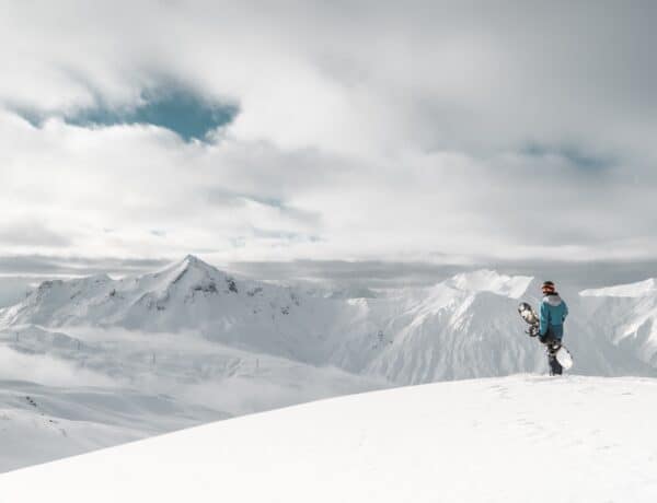
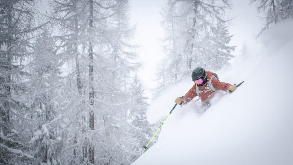
Skiing off piste
Experienced skiers and snowboarders may choose to explore off piste runs. However, doing so requires a thorough knowledge of mountain safety and should never be attempted without the correct avalanche equipment (shovel, probe and transceiver). This is largely due to the fact that they’re not groomed or patrolled. Normally, these are marked by a yellow or neon orange sign, but could be completely unmarked.
Off piste skiing is not recommended for beginners and we’d always recommend going with a guide.
Additional symbols
As well as the colour-coded runs, you’ll also find some additional symbols, usually located at the bottom of the map. These include which type of lifts are located where, which is especially important if you’re a beginner or a snowboarder who wants to avoid too many drag lifts.
On top of that, you’ll see where to find restaurants/picnic spots, first aid/information spots, area links (i.e. how to get from one resort to another), fun parks and much more.
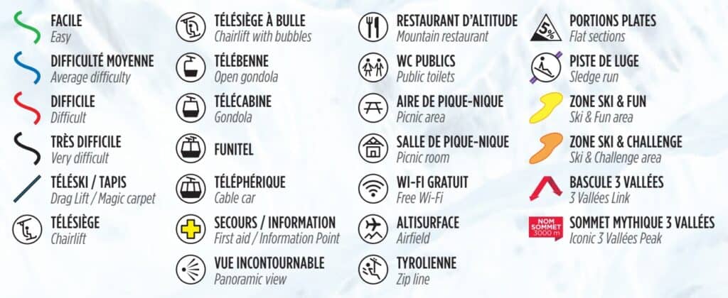
Other icons could include cross country ski tracks, hiking and touring trails, ticket offices, equipment rental shops and ski schools.
Finding your location on the map
If you’re unsure how to find your current location on the map, simply look at the side of the run for piste markers. These poles will be the same colour as they are on the map and will display the name of the piste and a corresponding number.
Find your dream chalet in the Alps
Summary
We hope you have found this guide to ski maps helpful. To recap, here are some main points to note before embarking on your first ski trip:
- Ski maps can be obtained from lift pass offices and tourist information centres, as well as online and in apps.
- There are four different difficulty levels for on-piste skiing, ranging from green to black. Always make sure you plan a route that suits your ability.
- Off piste skiing should only be attempted if you are with a guide or have a very in-depth knowledge of mountain safety and the local terrain.
- There are a number of additional symbols to look out for (usually at the bottom of the map) which indicate more features such as information points and access to neighbouring resorts.
If you enjoyed reading this post, we think you’d also find the following guides for first-time holidays helpful:
- Everything you need to know about the ski season in France
- How to book a ski holiday
- How far in advance should you book your ski holidays?
- What to do if you’re caught in a mountain storm
Planning your ski holiday in the Alps? Explore our range of high end partner properties in the Alps, boasting top-class facilities including as hot tubs, saunas, games rooms, pools and much more!
With over 150 chalets to choose from, there’s something for everybody. Plus, our free 24-hour hold feature allows you to reserve up to three properties whilst you decide. No card details are required and no one else can book during your hold period.